
Cattistock and Sandhills 2026 Census
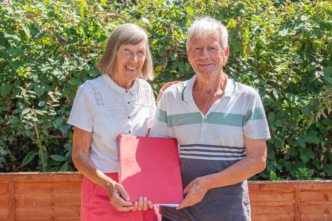
We have lived in Cattistock for approximately 28 years. In 2000, to mark the millennium, it was decided to produce a book about the village, and we volunteered to carry out a census to be included in the Frome Valley Chronicles. On that occasion we included other areas, such as Chilfrome, Chalmington, Chantmarle and Frome St Quintin.
This year the Savill Hall marked its centenary and the village joined in various activities to celebrate this milestone. We felt that this was an ideal opportunity to carry out another census (this time to cover just Cattistock and Sandhills) to see how things might have changed over 26 years.
In order to respect people’s privacy on a public website, we will just give a brief summary of the major differences.
Over the course of the 26 years the number of properties has increased from 196 to 220. However, quite surprisingly, the population has only increased by 3 (from 419 to 422).
In both cases there are slightly more females than males (49% male in 2000 and 48% male in 2026). The number of students (defined as those who are still in full-time education or pre-school) has increased slightly from 73 in 2000 to 78 in 2026. Perhaps the most striking change is the 50% increase in retired people, being 23% in 2000 and 34% in 2026
When we carried out each census, we divided the village into 9 areas.
AREA 1: Church and School
Area 1 is based on the church and former village school. South Drive Cottage was originally the rectory, and South Drive House was built as an extension to the rectory in approximately 1852. South Drive House was subsequently divided into 4 flats in the 1950’s, initially as old people’s accommodation, before becoming freehold. Courtyard Cottage came about as a conversion of outbuildings of the original rectory, and the outside walls and some parts of the house date back to 1790. En Dah Win and Brisbane bungalows were built in what was originally the rectory fruit and vegetable garden. Bungalows 1 to 4 South Drive were built on what was previously wooded rectory land, which provided a play area for some of the village children. The land opposite these bungalows, where Rectory Gardens houses now stand, had tennis courts, lawns and a clock golf area. At the bottom of South Drive there used to be a large pond where the vicar kept his flat-bottomed punt.
The remainder of Area 1 was the site of the old school. The buildings date back to 1850. The school closed around 1980, and the Old School was converted into houses. Two houses were originally the school itself, while the Old School House was originally the head teacher’s residence. The Old School Yard was, as its name suggests, built in the old school yard.
Area 1 accounts for a large proportion of the overall increase in the number of properties over the 26 years (17 to 28) with the addition of 11 new properties known as Rectory Gardens and a subsequent increase in population from 32 to 49.
We have not been able to discover anything about the history of The Gatehouse at the end of South Drive and would be happy to hear from anyone with such information.
AREA 2: Meadow View and Meadow Close
The area of Meadow View and Meadow Close was the site of a World War II Prisoner of War Camp. It is still referred to by some of the older residents as “The Camp”. Originally there was a military presence in the village and, as the military moved out, various POW’s were moved in. Many of the prisoners had specific trades and these were utilised in the village. For example, there were carpenters, painters and artists. The camp had its own bakery and a prisoner of war who was a baker was brought in. The bread that was baked was used to supply other camps in the area. Some of the talented artists produced pictures of local interest. Many of the prisoners worked on farms around Cattistock and mixed with and were accepted by the local community. Sometimes this led to marriage. For example, June Allen married Hans Gaertig in 1948.
After the war, when the POW camp was no longer needed, the Nissen huts were used to house local people. Gradually these were replaced by purpose-built council houses.
For Area 2 the number of properties has remained at 31, but the population has decreased from 71 to 59.
AREA 3: The Square
Area 3 was (and still is) the hub of the village, having in the past had a chapel, forge, butcher’s shop, post office, village shop, tailor’s, carpenters, grocers and two public houses. Many of the property names reflect their previous uses. For example, The Old Chapel was once a Methodist chapel, and The Forge was home to the village blacksmith. Tailor’s Cottage took on its name after changing from a butcher to a tailor, which, amongst other things, served the clothing needs of the Hunt.
The Post Office has moved several times and has been at Mill Close, Corner Cottage, The Forge, Castle Cottage and Chapel View (now back to its original name Tillands Knap), before settling in its present location. Tillands Knap, which in part dates back to the early 18th century, besides being a post office, has also been a carpenter’s workshop (which included making coffins) and a paint store. Similarly, Corner Cottage has been a dressmaker’s and a laundry, and Castle Cottage was a ladies’ clothes shop, a hat shop and a grocer, as well as the post office for a while. The 5 cottages (754, 752, Ivy, Virginia and Jasmine) were known as The Barracks in the past, as they were sold to house soldiers in the time of the Napoleonic Wars. No. 752 later became an Inn (The Barracks) and still retains its bread oven and inglenook fireplace. Vyes Corner was built between 1575 and 1625 and was originally thatched, but, like many houses in the village, the thatch was replaced by slate when the railway line opened and slate from North Wales could be delivered to the goods yard at Maiden Newton.
The Mill, which has been in the same family since 1612, finally ground to a halt in about 1927. The machinery and mill wheel were removed at the outbreak of World War II to help the war effort. Bun House operated as Kings Bakers from 1903. Fudges Bakers then used the Bun House property from 1912 to 1927 before it moved to Greylands.
Parts of the Fox and Hounds Inn date back to Jacobean times. The Corscombe Quarry stone floor is over 400 years old. In 1980 an open fireplace was rediscovered.
The unusually high house numbers in some properties in The Square (752, 754 and 763) are the original estate numbers given by the owners (Minterne Estates). 752 still retains its original enamel plaque showing an ostrich holding a horseshoe, the heraldic crest of the Digby family of Minterne Magna.
According to old photographs of The Square, there was once a cottage alongside Tailor’s Cottage. In the 1850’s the then rector, the Rev. H Still, commissioned Sir Giles Gilbert Scott to remodel the church, which was at the time in a near state of collapse. One result of the remodelling was the creation of a new entrance to the church from The Square and for this to happen, the cottage had to be demolished.
For Area 3 the number of properties has increased by 3 (from 23 to 26) and the population has increased by 6 (from 52 to 58).
AREA 4: Duck Street
Riders Row houses were built in 1973. The name suggests that there was a previous link to horses or stabling. Rockforge was built in 1987. It was built on the site of a World War I prisoner of war hospital. Markers was once the residence of the Master of the Fox Hounds. The Cottage was originally a coach house and stables with a hayloft. It then became a garage for builders’ transport and was used by a local builder as a store, before becoming a private residence. Clare Cottage was originally a two-up, two-down tied cottage, but subsequent extension work moved the ‘privy’ inside, so it no longer has to empty into the ditch at the bottom of the garden!
Castle Hill Cottage is over 200 years old. It was extended in 1985, when the existing garage block was built and the old forge was converted into a cottage, now known as Upshalls. The name ‘Upshalls’ is derived from the fact that during the 19th century several generations of the Upshall family plied their trade as blacksmiths on the premises. Their business stopped shortly before World War I. Legend has it that the first electricity in the village was generated on this site. Between the two World Wars Upshallswas a bus and petrol station, before being converted into a 3-bedroom dwelling in 1985. Bell House had a short spell as a butcher’s shop from 1865 to 1875
For Area 4 the number of properties has increased by 4 from 22 to 26, because of the new Stableyard development. The population has increased by 7 from 40 to 47
AREA 5: Kennels Area
Clearly the most obvious feature of this area, both audibly and visually, is the Hunt hounds and kennels. The kennels were built in 1897, providing a new and permanent location for the hounds since their initial location at Cattistock Lodge from the middle of the 18th century. Close to the kennels, not surprisingly, is Huntsman’s House. Working our way down Kennel Lane, there is a mixture of relatively new and not so new properties. In the days when the village had its own policeman, Moyola served as the police house. Lankham House was built in 1927 for Austin Rimmington Every. Mr Every apparently owned a foundry in Lewes and the fireplace in the house still has a fireback cast with the initials A. R. E. According to various accounts, Lankham House was built as a retreat by Mr Every senior and was lived in by his servant and his son who was “not all as he should be”. Hunters Lodge (3 Kennel Lane) was built in 1976 as a residence of and at the request of Mary, Lady Hammick of Wraxall.
The remainder of this area is based on the buildings of the original Manor Farm and many of the properties are conversions of pre-existing farm buildings. The Old Stable was converted in 1984. The garden of this property was originally a bull pen and the north wall contained an arch through which the sheep were driven to the sheep dip, the remains of which are still present in the garden.
The Old Barn and Barn Cottage, as their names suggest, were both barn conversions, the former being used for cattle and the latter to house the carts.
Rivendell Cottage was also a farm building, though originally single storey, an upper floor being added when converted to a dwelling house in 1988. One large barn conversion resulted in the properties now called Cussbarton and East Barn. Manor Farm was at one time owned and worked by the brothers Cuss, hence the name of the western half of the conversion. The barn itself dates back to 1630. In the 1900’s the building was used as a granary and was converted into residential use in 1984
For Area 5 the number of properties remains at 16, but the population has increased by 7 from 27 to 34.
AREA 6: Maiden Newton Road
Ellerslie and Fullers Earth both have hunting connections from long ago. Ellerslie was the hunting box from 1806 to 1858 of Squire James John Farquharson, Master of Hounds, who founded the Cattistock Hunt. The hounds were kennelled in thatched buildings somewhere nearer to the church. His horses were kept in Ellerslie’s thatched stabling, which, in those days, led on to Fullers Earth, where he housed his hunt staff. Fullers Earth originally dates from 1750 and was extended in 1820 when the hunt became a permanent feature of the village. In 1890 it was sold privately with its six stables. One owner was the Rev. Fuller, who was joint Master of the Hunt and the one who presumably gave his name to the property.
Hindover was built in 1953 as the new Rectory for the village but was sold by the Diocese of Salisbury in 1986 when the team ministry was set up. The land where Ringers Plot is located, along with some of the land behind, belonged to the church and it is thought that some of the income from this land was used to finance some of the church activities, possibly paying in part for bell ringing. If true, this is a nice link to the name of this small development. Ringers Plot land is still in the freehold ownership of the Diocese of Salisbury and is leased to Magna Housing, who built the houses there in the late 1990’s with the covenant that applicants with a link to Cattistock, Chilfrome or Frome St Quintin should be given priority.
The Lodge Cottage was built around 1900 for the gardener on his retirement from Cattistock Lodge. On the outskirts of the village is Wallis Farm, which dates from about 1810. Parts of the farm have been owned by John Cozens (London) and by Manor Farm. Later (1892 to 1931) parts were owned by Mr Wallis (surgeon and son in law of the Rector, Rev. Stickland). There are at least two Bronze Age bowl barrows to be found on Wallis Farm as well as an abundance of Adonis Blue butterflies. The bungalow was built in 1974.
For Area 6 the number of properties remains the same (18) but this is because of the new build of The Coach House which makes up for the now derelict Cattistock Lodge. The population has reduced by 12, from 50 to 38.
AREA 7: West End
Orchard House area was originally known as Orchard Close and comprised six different dwellings. Orchard Cottage, once a bakery, now adjoins the main house, which itself was formed from two cottages. The other properties have been demolished apart from the old grocery shop, now called Gardiners.
There are many properties in the West End area that date back a long way. Thurlestone goes back to at least 1750. Cattistock House was formally a farmhouse and then later a hunting box. It was possibly built originally as a residence for the builder who was, at that time, constructing Montacute House. The Garden House in the grounds of Cattistock House started life as a barn and dates back to 1597.
Ramsay Cottage was originally part of the Cattistock Estate which was founded in 1775. It was probably a barn originally but then converted into three ‘one-up one-down with an outside privy’ dwellings. General Ramsay (Commander of the Cattistock Home Guard during World War II) converted two of the cottages into one for his groom.
Greylands House was home to Fudges Bakers when it moved from Bun House in 1927. It remained as a bakery until 1968 when it then became a private residence. No 1 Greylands was built by Fudges Bakers for their van driver. In 1985 Alpine Cottage was built in the grounds of Greylands House.
During the middle part of the 19th century Prospect Farmhouse was a small private school. The Rocks had an interesting arrangement of gardens. 1 The Rocks had two gardens and as a result the remaining properties each owned the garden next door until we get to Rose Cottage which had an underground living room and no garden at all. Currently, 2 The Rocks has no garden, meaning 3 The Rocks and 4 The Rocks have regained their own gardens.
Greystones was the first ‘all electric’ house in Cattistock. Greystones was also home to the village early warning device in the event of a nuclear emergency. This system was eventually disbanded in the belief that nuclear attack was no longer a serious concern.
For Area 7 the number of properties has increased from 37 to 42, but the population has decreased by 15 (from 85 to 70).
AREA 8: Mulberry Orchard and Beech Tree Close
Aptly named Beech Tree Close stands on land which was previously described as Mulberry’s Lawn or Mulberry’s Lawns. This history is reflected in the name Mulberrys Lawn given to number 7 Beech Tree Close and also the name Mulberry Orchard for the more recent development of houses in this area. Mulberry Orchard was originally the site of a garage and coach depot, started by Mr Albert Pearce in the 1920’s.
When Cattistock School closed in 1980, children had to be bussed either to Maiden Newton (for the younger children), or Beaminster (for the older children). It was the role of Pearce, Darch and Wilcox and their Comfy Lux Coaches to make sure they arrived safely and on time. The bus company ceased operations from the Cattistock garage in about 1990 and the site was later developed into the present dwellings
For Area 8 the number of properties has remained the same (21) and the population has reduced by 1 (from 41 to 40).
AREA 9: Sandhills
The area of Cattistock known as Sandhills was previously known as Swan Hill and the names of two of the residences reflect this. The property called Swanhills was originally called The Gardens and was built by the Rev Still (who rebuilt Cattistock Church). Previous owners renamed the property Swanhillsalong with the nearby property Swanhills Cottage in order to maintain this link with the past. Sandhills at one time had a much larger number of properties, but many of these have either been demolished or combined to make larger properties. Sandhills did not have mains water until 1963, when the official well (used by the whole area and still to be found in the grounds of Well Cottage) was condemned by the Public Health Authorities.
The Three Horseshoes was once a public house. Sandhills Cottage was once part of The Three Horseshoes, as well as being a blacksmith and dairy. Much to the delight of the local children, Sandhills also boasted a sweetshop. Sadly, this no longer exists. 11-13 Sandhills, now named Daisy Cottage, was also a smithy (circa 1800 -1860) and was involved in the construction of the railway. 11-13 (Daisy Cottage) is reputedly haunted, though thankfully in a friendly way!
For Area 9 the number of properties has increased by 1 (Old Moss Farm) from 11 to 12. The population has increased by 6 (from 21 to 27).
It is hoped that this exercise can be repeated in the future, so that more comparisons can be made. Bearing in mind the importance of people’s privacy, it is hard to know what further information can be requested, but we are open to suggestions.
Peter and Margaret Long (August 2026)
If you wish to comment or ask a question about this summary of the two censuses, please contact Peter and Margaret on longs71@hotmail.com
Last Updated on 24th August 2026